
Sources Behind an Onslow County Neighbors Check
The immediate block is a geography question first. Onslow's GIS viewer can map the address, parcel lines and adjoining land, while the Tax Office card can provide assessment fields and the Register of Deeds can verify a legal instrument. A voter result describes registration-related geography, and a local organization can identify a community institution. None of those sources is an all-household list, so the record type should travel with every note about Onslow County neighbors.
| Source | What It Shows About a Block | Access |
|---|---|---|
| Onslow County GIS Mapping System | Physical address, parcel or PIN, touching parcels, map layers and geographic context | Public interactive viewer and help guide |
| Onslow Tax Office property search | Assessment owner label, situs and mailing fields, account, parcel and tax-year details | Online search and Tax Office assistance |
| Register of Deeds eSearch | Recorded grantor/grantee, book/page and legal-description trail | Online index and images, plus the custodian counter |
| NC Voter Search | Public registration geography, jurisdictions and polling details where available | Public lookup with statutory exceptions |
| Community and history collections | Organizations, local terminology and dated historical context | Official contacts, library, museum or heritage-center route |
The first three rows concern land and recorded documents. They can identify an owner label or legal transaction, but not necessarily a person who occupies the structure. The voter and community rows have even narrower roles. A defensible block note says exactly which source was checked and what it showed.
Use Adjoiners for Onslow County Neighbors on a Block
The GIS viewer offers an Adjoiners tool for parcels that touch a selected parcel. It also offers Select by Location for buffer parcels or structures, and Neighborhood Parcels based on a neighborhood code. These are different tools with different scopes. Adjoiners is the most direct way to define the immediate parcel ring; a buffer can extend the study farther; and a neighborhood code is a map attribute, not a membership list.
- Search the physical address in GIS and save the address, parcel or 15-digit PIN, map date and visible layer names.
- Open the parcel and use Adjoiners to identify parcels that touch it; use a buffer only when the question truly concerns a wider radius.
- Open each relevant parcel card and record the parcel ID, situs, owner or taxpayer label, neighborhood field, deed book/page and date displayed.
- Compare the Tax Office account and then read the Register of Deeds image and later instruments for an ownership question.
- Stop at the boundary of the question. For a full named-street chain, use the Onslow County street directory instead.
The sequence is important because GIS warns that online mapping can lag a recording. A map card is the address bridge; the recorded image carries the legal instrument detail. Preserve the query date, because a parcel split, subdivision or deed transfer can change what the screen displays later.
Onslow County Neighbors Map Layers Explain Place, Not Membership
Onslow's map services add useful context to a block without turning a map into a household register. Available layers include parcels, structures and building outlines, E911 streets, city limits, ETJ, ZIP boundaries, zoning, fire districts, flood zones, schools, parks, townships and Camp Lejeune or Hoffman Forest context. The viewer also includes basemaps, orthophotography-year controls, transparency and a legend. Layer names and dates help explain why a route goes to one office rather than another.
The GIS legend service image shows the kind of geographic layer reference available through the county system. It is useful for checking what a symbol or boundary represents before treating it as a research clue.
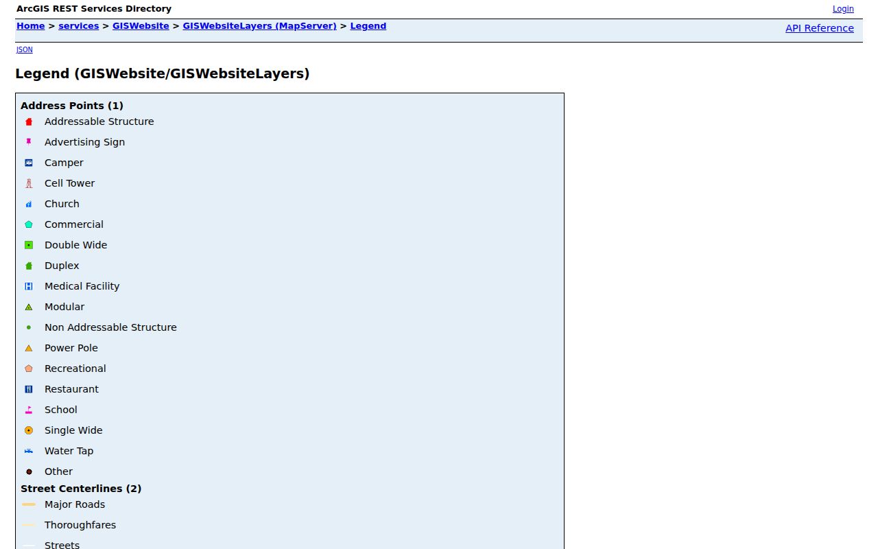
Community labels such as Carolina Forest, Hunters Creek, Jacksonville Commons, Northwoods, Queens Creek, Richlands, Swansboro and others appear in the GIS legend, but they are map or planning geography. A label may be informal or administrative; it does not identify members of a neighborhood group.
Onslow County Neighbors and Voter Results: Narrow Evidence
North Carolina's voter lookup can search first name, last name, optional middle initial, year of birth, county and status. A public result may provide jurisdictions, polling place, sample ballot, absentee information and voter history when available. That makes it a limited registration check, not proof that every adult at an address is registered or that a person remains there. A non-match can reflect spelling, a county or status choice, a recent move, list maintenance, or a protected address.
G.S. 163-82.10 withholds date of birth, Social Security number, driver-license number, email, photo-ID copies and related identifiers. Address is normally public but can be protected for a qualified voter. The Onslow election information page instructs users to enter first and last name, select a result and scroll to the sample ballot; its local guidance also points to the county election office.
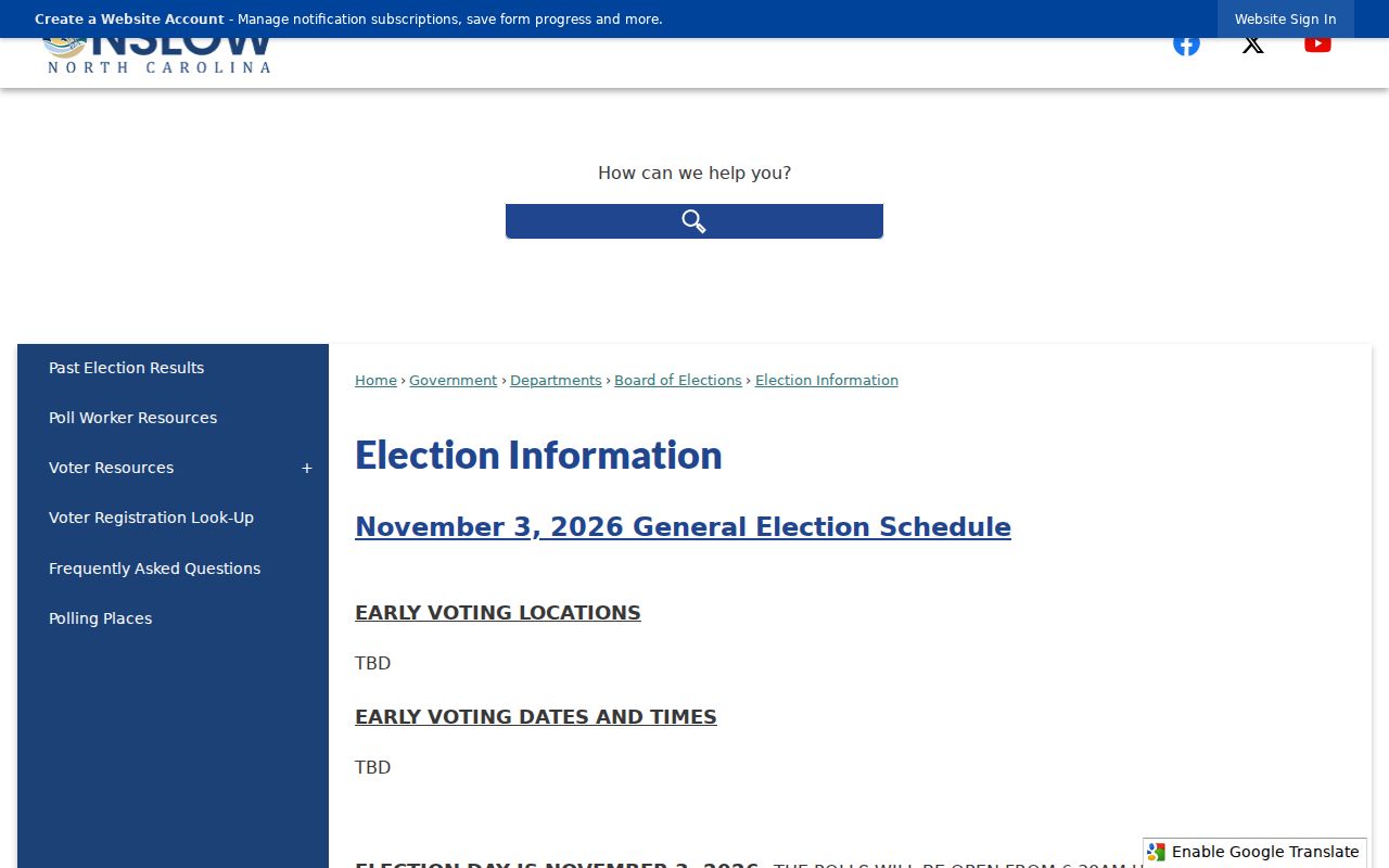
For a one-name check, note the source and date rather than exporting a static assumption about the block. State voter data files have historical snapshots, but list maintenance means each file reflects the version date, not a permanent resident record.
Community Contacts Near an Onslow County Block
Onslow's official Community Resource Guide is a starting point for community institutions, not a directory of private membership. The research did not locate an official countywide neighborhood-association directory or a verified association membership index. That gap matters: do not replace it with a private roster or assume that a map label has a contact list. Ask an institution whether its collection is public, whether an appointment is needed, and whether copying has a fee.
| Community route | What the source can help with | Boundary to keep |
|---|---|---|
| Onslow Community Resource Guide | Officially listed civic and service contacts, including Belgrade Community Action Association and library resources | An organization address or service area is not a member list |
| Tucker Littleton Room | Jacksonville-area directories, newspapers, microfilm and local terminology | Historical collections need a publication or item date |
| Onslow County Museum Research Room | Local history, genealogy, architecture and family-file context | Research-room access is appointment based; the legal custodian controls official records |
| Swansboro Heritage Center | Swansboro-area research-room contact and local context | Its collection does not prove present household membership |
| Countywide association directory | No official directory was located in the research | Leave the gap visible rather than inferring an association or roster |
For a church, cemetery, civic club or nonprofit clue, pair the institution with a deed, plat, library microfilm, obituary, newspaper or meeting minutes only as the question requires. Membership, burial, a service area, or a map label does not confirm a current address.
Onslow County Neighbors: Official Records and Commercial Categories
Official rolls are source-specific: GIS maps parcels, the Tax Office reports assessment information, the Register of Deeds preserves instruments, and voter records report a limited public registration status. Each has a custodian, fields and legal limits. Commercial neighbor-finder categories may blend sources, change without a stated update date, omit their source trail, or attach the wrong same-name record. They should never outrank the custodian's own record when a local fact needs checking.
| Source category | Strength | Limit |
|---|---|---|
| Official parcel, tax and deed records | Named custodian and document-specific field trail | Ownership and assessment do not prove occupancy |
| Official voter records | Defined public registration fields and protected-address rules | Not a household roster and subject to list maintenance |
| Commercial neighbor-finder category | May offer a quick lead to verify | Accuracy, refresh date, source lineage and name matching can be unclear |
When a screen conflicts with an official source, retain the official URL, query date and underlying record reference. An unverified merge is not made more reliable by appearing in more than one commercial display.
Jurisdiction Can Change an Onslow County Neighbors Search
One block can sit in Jacksonville, another municipality, an ETJ, unincorporated county, a coastal ZIP area, or near an installation boundary. The GIS city-limit, ETJ, county-boundary and ZIP layers help identify which office may hold an address, permit or code record. A mailing place is not jurisdiction proof. Camp Lejeune, Tarawa Terrace, Midway Park and McCutcheon Field ZIPs are delivery clues that should be checked through GIS and USPS, not used to infer an individual's affiliation or occupancy.
Jacksonville has a municipal addressing framework, while county GIS maintains countywide property addresses and E911 streets. The city's code-violation form is an address-based municipal route whose application depends on jurisdiction. A reported issue does not identify every person connected to a property, and complaint details can have safety or statutory limits.
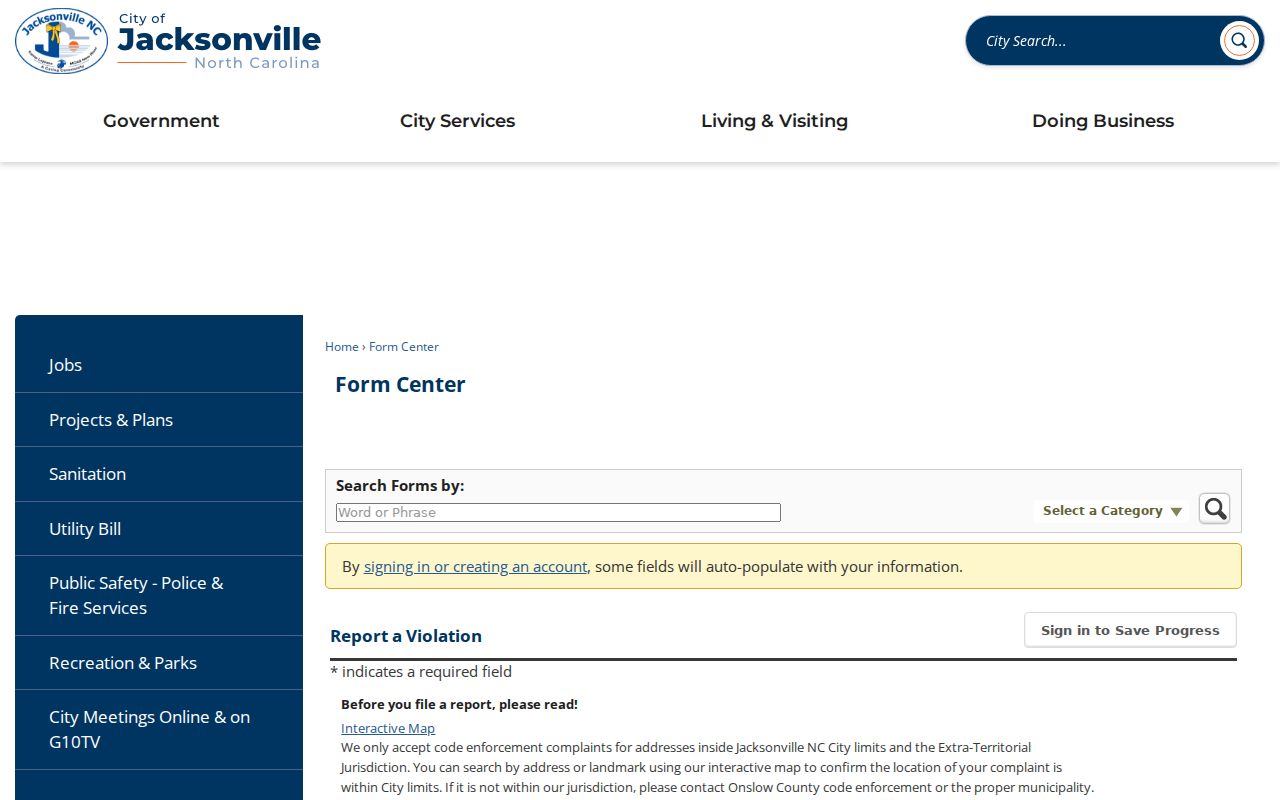
Use the city-limit and ETJ layers before routing a question. If an address is new or missing, ask GIS or E911 about its correction process rather than assuming the address format or jurisdiction.
Local Safety Services Are Not an Onslow County Neighbors List
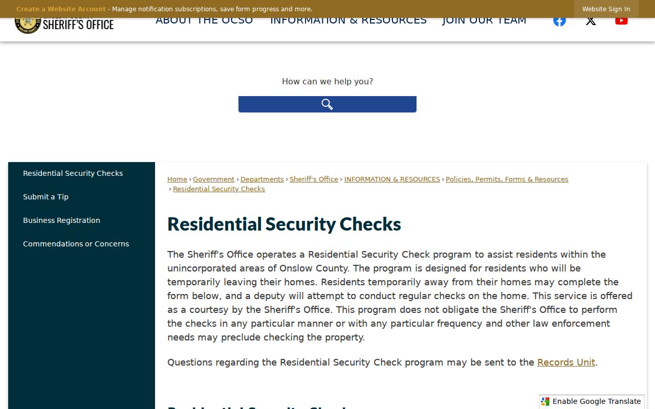
The Sheriff's residential security-check service is an official service route with its own form and limits. It can be useful for a person planning a trip or checking a service option, but it is not evidence about a nearby household. Keeping that distinction is especially important when a search began with a block map, because a service page may be tied to an address without naming a resident.
The Onslow Sheriff's residential security-check page is shown below as an example of an address-related official service rather than a neighbor record.
For urgent safety concerns, use official emergency or law-enforcement channels. A map, deed, voter result or service form should never be used to monitor or confront a person.
Historical Clues Around an Onslow County Block
Historical material can explain a block's changing context without declaring who is there now. The Tucker Littleton Room combines directories, newspapers, telephone books, census sources, microfilm and family files. The county history notes that Jacksonville was incorporated in 1842 and that Camp Lejeune's 1940s growth changed population and street context. For a former street name or old number, use the directory year, deed or plat date, and GIS parcel history together.
New River and the county's coastal geography add another practical limit: a place name, ZIP, municipality and parcel can diverge near county lines or installation boundaries. A dated newspaper, directory or cemetery clue should lead to a documented record path, not a modern household conclusion.
Privacy Boundaries for Onslow County Neighbors
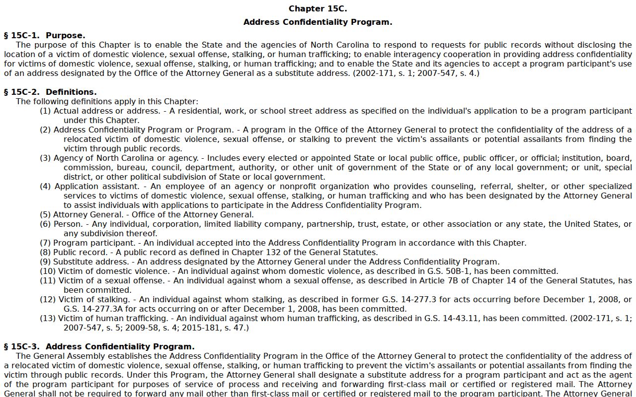
North Carolina's Address Confidentiality Program gives eligible survivors of domestic violence, sexual assault, stalking and human trafficking a substitute address. Chapter 15C is the statutory framework, and qualified voter addresses can also be protected. Respect a protected result as a boundary. Do not combine map, tax, deed, historical, or other records to uncover a location that the program is meant to shield.
The North Carolina Address Confidentiality Program statute image documents the governing legal framework. The program concerns safety and a substitute-address process, not a source for identifying people around a parcel.
Lawful use. Use block records for personal research, civic context, reconnecting with a known contact, or confirming a source with the custodian. Do not use them to follow, harass, threaten, repeatedly contact, or expose anyone.
North Carolina's Public Records Act permits inspection subject to record-specific exceptions, and G.S. 132-1.10 requires protection of sensitive identifying data. Record the source, field and date, request corrections from the responsible office, and leave private or protected information out of a block note.